Analytics
2.3 m² of greenery per resident: which standard in Tashkent is the real one
6 min read · Future of cities · Central Asia
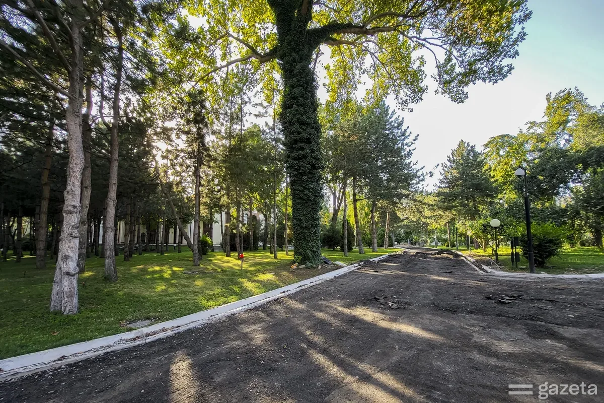
SAD calculated green space provision in Tashkent at about 2.3 m² per person. Three different "standards" circulate in the city as benchmarks for that figure, and none of them survives a check against its primary source.
In 2024 the SAD studio calculated how much green space there is per resident of Tashkent. The figure came to about 2.3 m². Gazeta.uz cited the calculation on 11 August 2026.
The city authorities quote a similar number. In October 2026 the khokim of Tashkent, Shavkat Umurzakov, spoke of roughly 2 m² per resident. The gap between the two is a matter of tenths, which means two independent counts agreed on the order of magnitude. For an indicator with no shared methodology, that is already something.
Now about the benchmarks this figure gets compared against.
Ten square metres. The most common number, usually attributed to the World Health Organization — sometimes as 9 m², sometimes as 10. Researchers who tried to trace it to a primary source found no such recommendation in official WHO publications. The organisation proposes green area per capita as an indicator for tracking change, but names no threshold. An indicator shows direction of travel; a standard sets a limit.
The figure of 10 m² does exist in Uzbekistan, with a different origin. It is a state target: to reach 10 m² of green space per capita by 2030, alongside 30 per cent overall greening. The President set the task in April 2026.
Seventeen to nineteen metres. The khokim referred to this norm when describing the deficit. It is almost double the state target for 2030. The publication does not say where it comes from.
Forty per cent. The national document in force, SanPiN RUz No. 0339-16, regulates greening differently: the share of green areas within urban development must be at least 40 per cent, and at least 25 per cent within a residential district. The standard exists and applies, but what it measures is a share of territory. Converting percentages into square metres per person is impossible without population density data.
So one city in one year operates with three incompatible values and one standard in force that measures something else entirely.
The metric is simple: green area divided by population. Three weaknesses follow from that.
An average hides distribution. A city with one 700-hectare park and a city with a hundred seven-hectare squares produce the same result, and living in them is nothing alike.
Everyone counts their own numerator. A verge along a motorway, a canal embankment, the grounds of a closed institution — all of it is formally green. Whether it enters the calculation depends on the methodology, and the methodology is rarely published. Checking someone else's figure is therefore impossible: published data does not let you reconstruct what was counted.
The denominator moves. During the day there are substantially more people in central districts than at night. Provision during working hours and at the weekend are two different quantities.
The deficit the city talks about is expressed in hectares: roughly 1,000 hectares of large green and forest-park areas are missing to match the level of Almaty. The city currently has about 893 hectares of public parks, according to the urbanisation committee as of March 2026. By 2035–2040 the plan is for about 3,000 hectares within the existing boundaries.
Hectares are verifiable: you can draw them on a map. Square metres per person are a derived value that depends on what went into the numerator and which population was used.
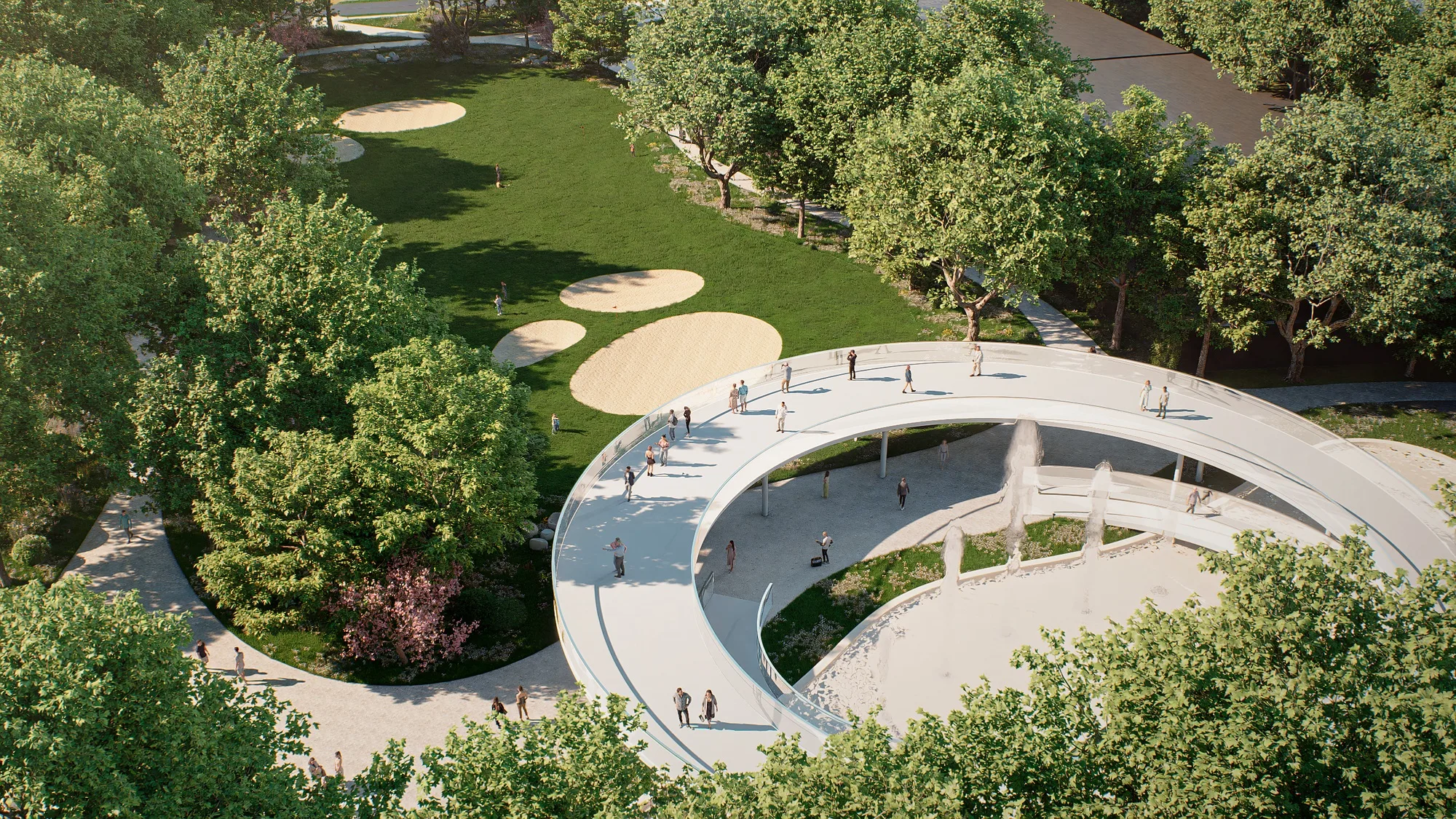
The park by the Oqsaroy residence covers about 10 hectares. It is being opened to the public, and almost 2 km of fencing is coming down around its perimeter. For decades the site was green and inaccessible at once: it counted towards provision, it did not count towards the life of the city.
This case shows the gap between the metric and reality. Removing the fence changes square metres per person by nothing at all — the area is the same. For the people living nearby, everything changes.
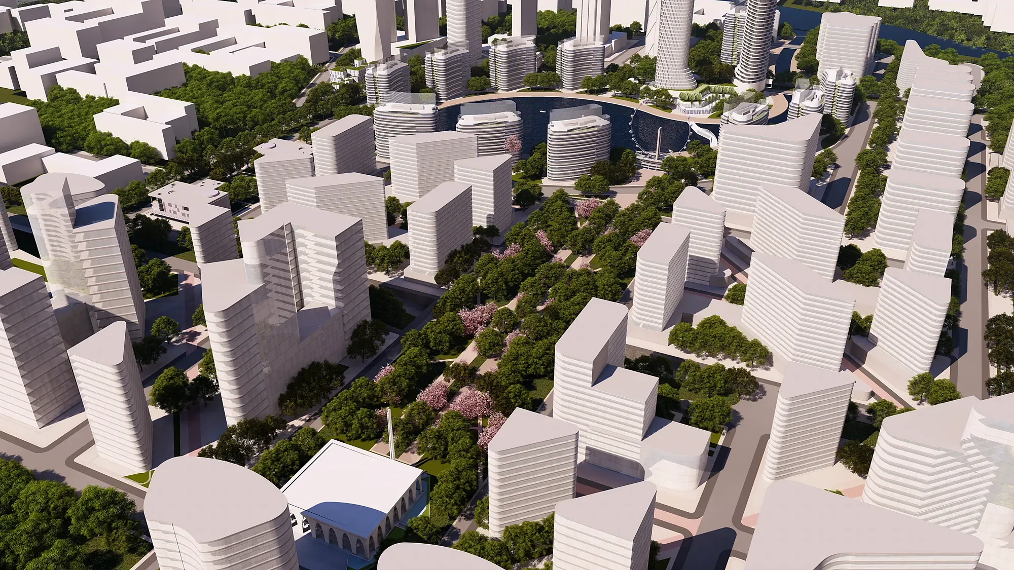
The park is to become part of a "green route" of roughly 700 hectares connecting Magic City, Anhor-Lokomotiv, Ecopark, Central Park and other green areas. A single master plan for the route is still being drafted. SAD takes part as technical consultant to the Tashkent khokimiyat.
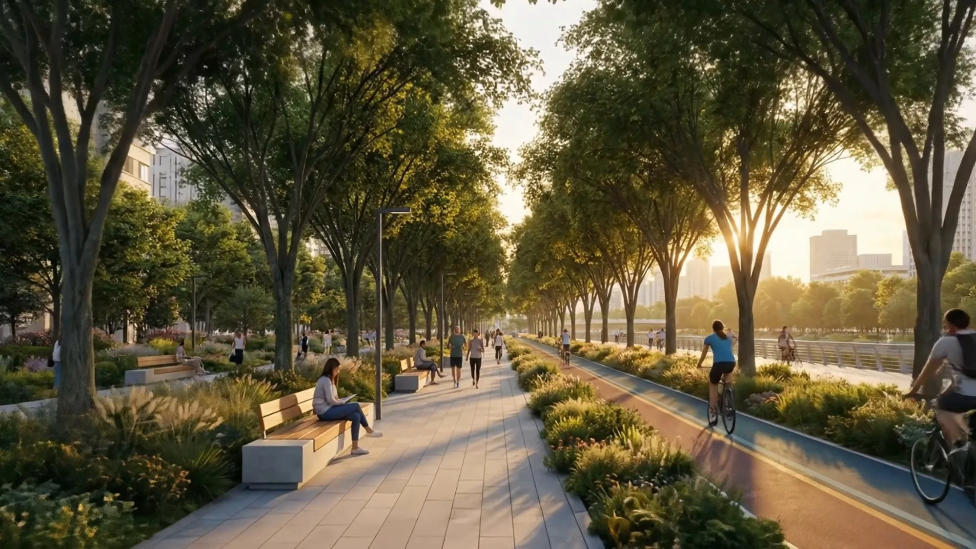
Connectivity is the third parameter after area and accessibility. A standalone park serves its own radius. Connected parks give a route you can walk, run, cycle and commute along. The same hectares yield different returns.
Area per capita is worth keeping as an indicator of change: it is simple, easy to repeat year on year, and suitable for comparing a city with its own past.
Design decisions need a second metric — accessibility: the share of residents with a green area of a given size within walking distance, typically three to five hundred metres without crossing a major road. It converts into a brief: where a square is needed, which crossing prevents people reaching an existing park, which fence cuts a block off from greenery two hundred metres away in a straight line.
The data for such a calculation is municipal and not restricted: boundaries of green areas, population by block, and the pedestrian network with its barriers.
Taking apart other people's numbers obliges us to do the same with our own.
The 2.3 m² calculation was published without a methodology. For it to be citable, two things need to be disclosed: what went into the numerator — parks and squares alone, or all green territory — and which population was used in the denominator, as of which date. Without that, our figure remains a claim by the studio, carrying exactly the flaw we point out in others.
The third thing absent from the public record so far is an accessibility calculation for even one district of Tashkent. That is the work we consider next.